

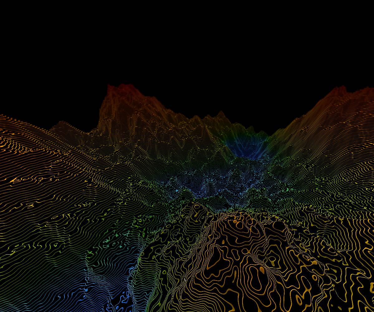
AI-Powered Geospatial Intelligence
Transforming satellite and geospatial data into real-time insights for disaster prediction, risk analysis, and resilient decision-making.

Empowering communities, governments, and first responders with intelligent, scalable disaster solutions
From prediction and early warning to response and recovery.
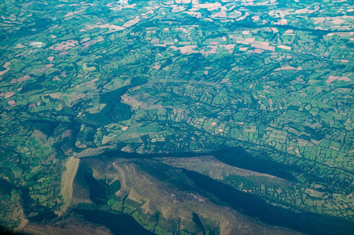
Prediction & Early Warning
AI-powered forecasting using satellite, weather, and terrain data.
Real-Time Response
Live monitoring and adaptive decision support during disasters.
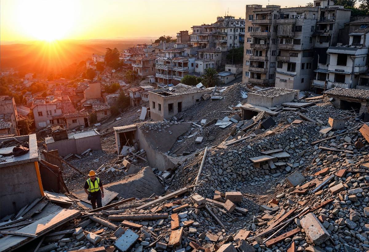
Recovery & Risk Assessment
Post-event analysis to improve resilience and reduce future risk.
Turning Data into Decisions for Extreme Risk
From predictive modeling to real-time intelligence, our solutions enable faster, smarter responses to the world's most complex challenges.
Advanced Models to Quantify Extreme Risks
Anticipate, assess, and plan for both historical and unprecedented climate and geopolitical risks with state-of-the-art modeling technologies.
Tailored Consulting for Complex Extreme Events
Peril- and region-specific studies supporting insurers and financial institutions in strategic planning, regulatory reporting, and stakeholder communication.

Intelligent Platforms for Extreme Event Planning
Integrated software platforms combining advanced models with scalable workflows for real-time decision-making.
Comprehensive Solutions for Natural Hazard Risks
Actionable insights and analytics to support hazard assessment, emergency response, and long-term risk mitigation.
Get in Touch
Connect with our team to explore how our AI-driven geospatial solutions can support your organization’s risk management and decision-making needs.